
GIS Mapping
Mapping a heritage-enriched future
Artefact have a dedicated team of mapping and technical specialists who provide world-class GIS services.
We utilise a range of open-source and licensed hardware/software solutions to facilitate high-accuracy data collection during fieldwork and high-quality data analysis/cartographic production throughout the course of a project.
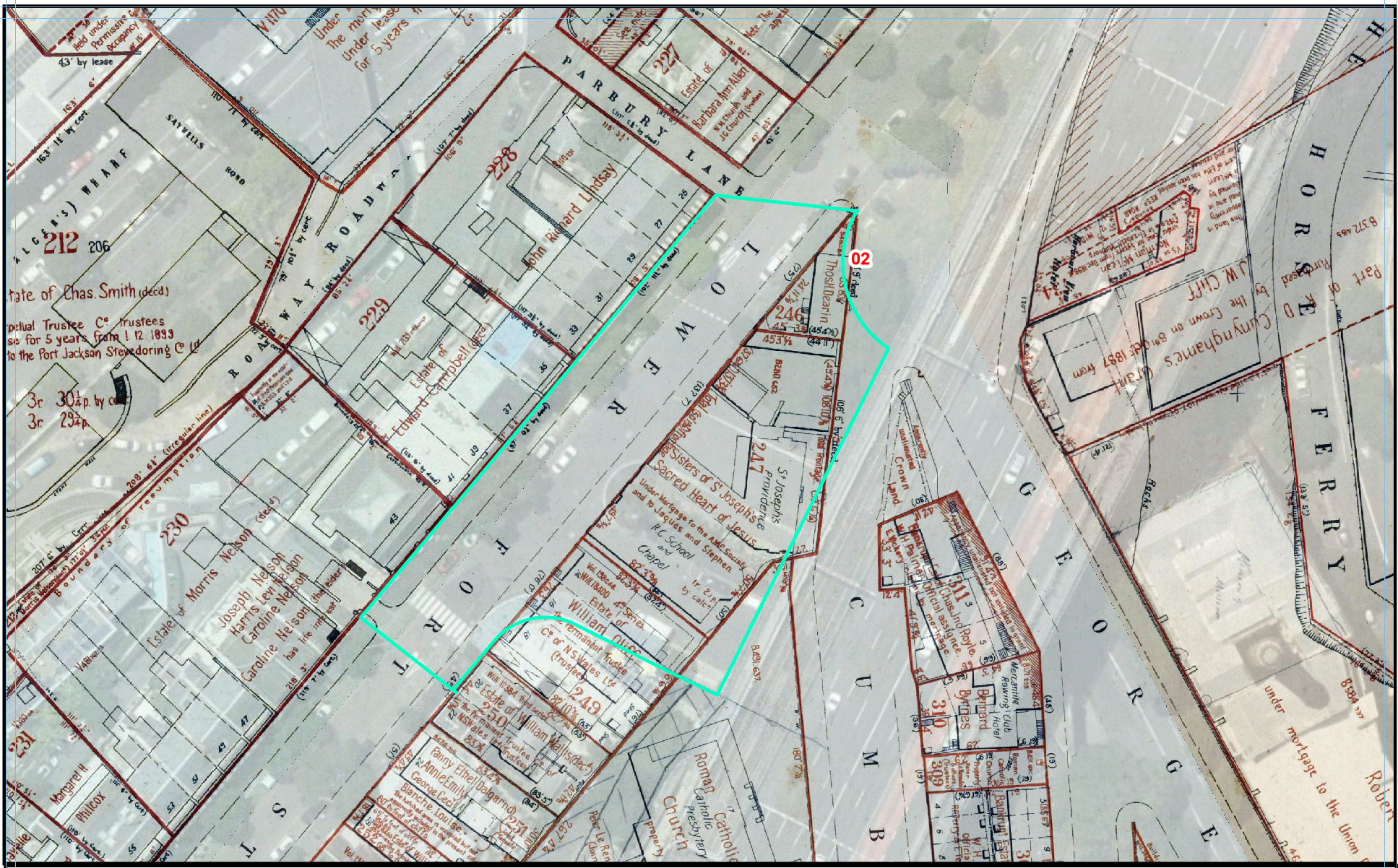
In addition to the integration of field data and the creation of custom historical overlays, datasets, and map products; our capabilities include the ability to produce project-specific high-resolution LiDAR Digital Elevation Models and resultant heritage specific predictive models in a range of scales (neighbourhood to suburb to region).
In combination, all these functions allow our teams to operate at a high efficiency and produce the highest quality products possible. Our GIS department continually strives to implement new and novel methodologies to develop creative solutions and custom products for a range of scenarios.
services
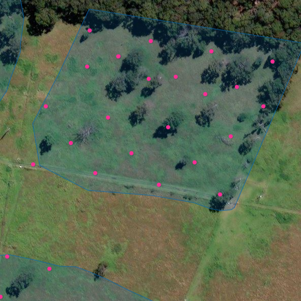
High-accuracy site mapping
Data-set analysis
Cartographic production
Customised historical overlays
LiDAR Digital Elevation Models
Data manipulation and presentation
Heritage-specific predictive models
Field capabilities
Trimble DA2 Catalyst GPS systems with 30cm accuracy (2cm accuracy achievable for specific specialty needs) operated through Trimble TDC600 Handheld controllers and TerraFlex software.
Field rugged tablets utilising Avenza mapping software for rapid, convenient reconnaissance level data collection.

Mike Douglas
GIS MAP CARTOGRAPHER
GIS Mapping at Artefact is led by Mike Douglas who has over 15 years of experience collecting, manipulating, and presenting a variety of geospatial data for public and private development projects throughout Australia and the United States.
Mike is an expert at providing clear presentations of data in a spatial context which add an additional level of clarity to its interpretation.